The Sawtooth National Wilderness
- Lake Identification Home Page -
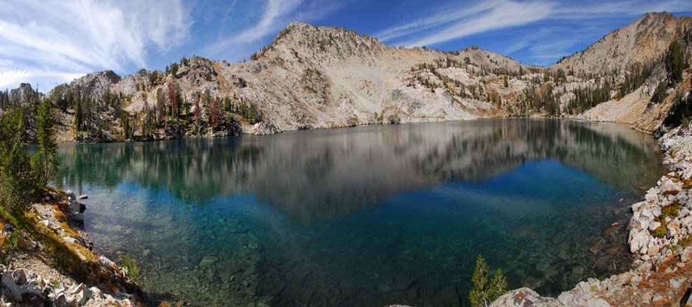
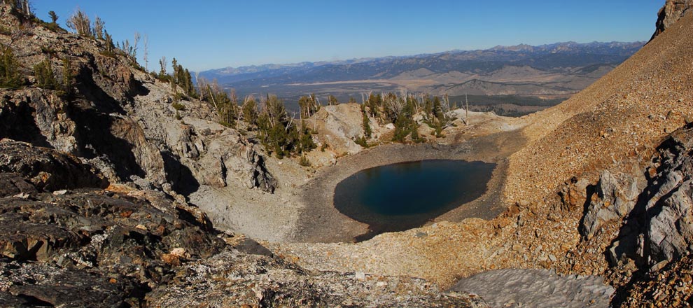
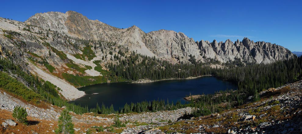
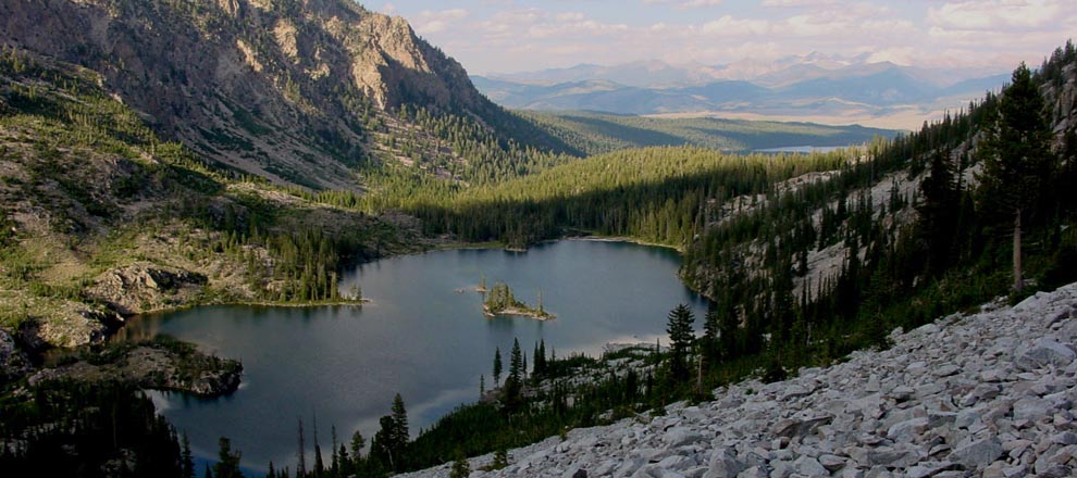
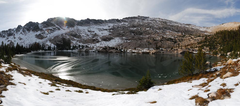
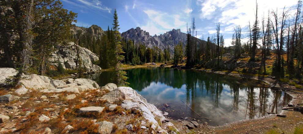
Lakes of the Sawtooth National Wilderness Area, Idaho, USA © C. K. McDonald
1013 Lakes within 340 Square Miles!
It's hard to imagine there are 1013 lakes (bodies of water) in the 340 square miles of the Sawtooth National Wilderness Area. If you want to know where they all are, you have found the right website.... I have some interesting info and free downloads for you if this topic interests you. But first a little background....
After years of hiking in the Sawtooth National Wilderness Area I began to realize there were many more lakes than I imagined. At one point I figured there must be more than 200. So I began a search to find out how many there really were. I thought it would be easy. I looked, primarily on the web, for weeks ... nothing. I couldn't even find an attempted estimate. I gave up, only to return to the question several times over a years period. The question gnawed at me. Finally, I decided if I was going to know I was going to have to count them myself. Due to the difficulty, I started and gave up a number of times.
It seems like a straightforward process to simply count lakes, but it is far from it. First off, what is the definition of a lake anyway? Does it qualify as a lake if it dries up in the summer? Does it qualify as a lake if a yearly winter ice bridge serves as the dam? Is a certain size/depth required to claim the title? Does it qualify as a lake if multiple years can go by with a temporary glacier covering it? What if the body of water separates into two later in the summer when the water level drops; is that one or two lakes? If aerial images and the USGS Topo maps disagree (and they do in a few places), which to believe?
In short, counting the lakes in the Sawtooth Wilderness was rather difficult. I spent hours staring at maps, images, aerial photographs taken at many different times and even hiked to over 60 of them. The result?.... A count I believe is not perfect, but quite accurate. If there are errors they are much more likely to be omissions than false identifications, for obvious reasons.
What to call them was a problem also. Only about one tenth of them have official names. If I could find a name, I used it. I simply numbered the remainder. What good is all this? I realized early on in the project that making the data usable was important. So I provide the data to the public in a couple of different formats. A spreadsheet that logs every water-body, it's name or assigned number and its long/lat coordinate. I also created a GoogleEarth .kmz file containing all 1013 lakes. These are available free on the Download page of this website.
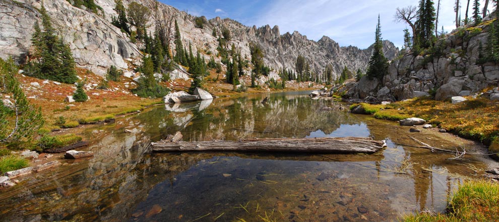
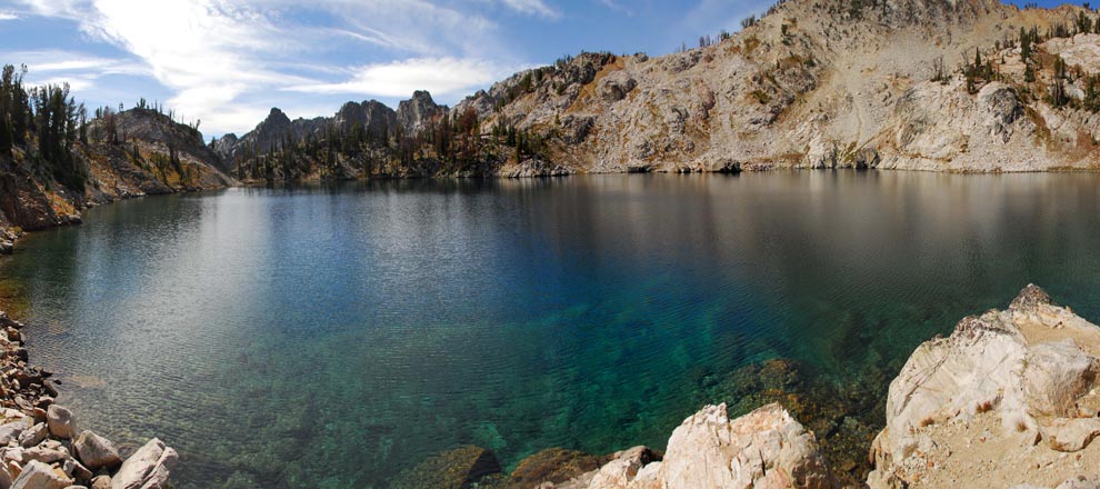
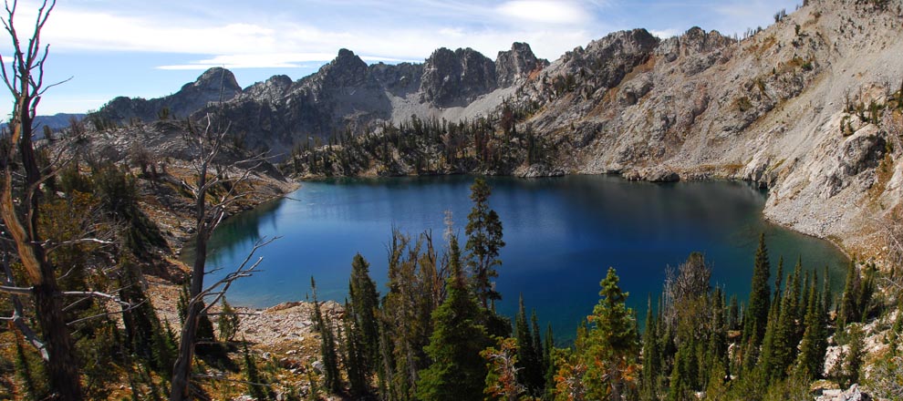
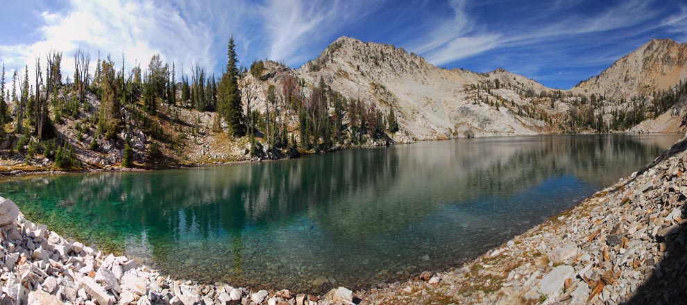
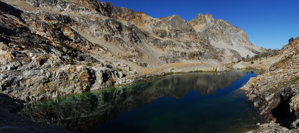
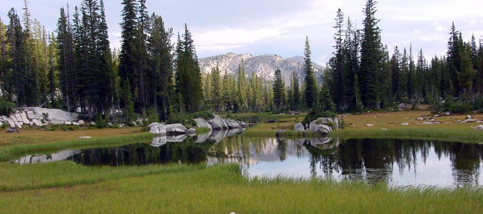
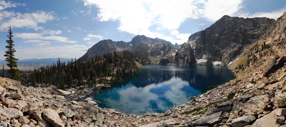
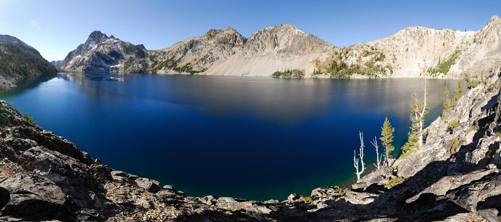
I hope you find this data interesting, if not useful. If the gory details of this data-gathering project are of interest, see the Gory Details page. Images of some lakes can be found on the Images/Panos page. Enjoy!
© C. K. McDonald Last Update: Sept 1, 2014 v1.4


